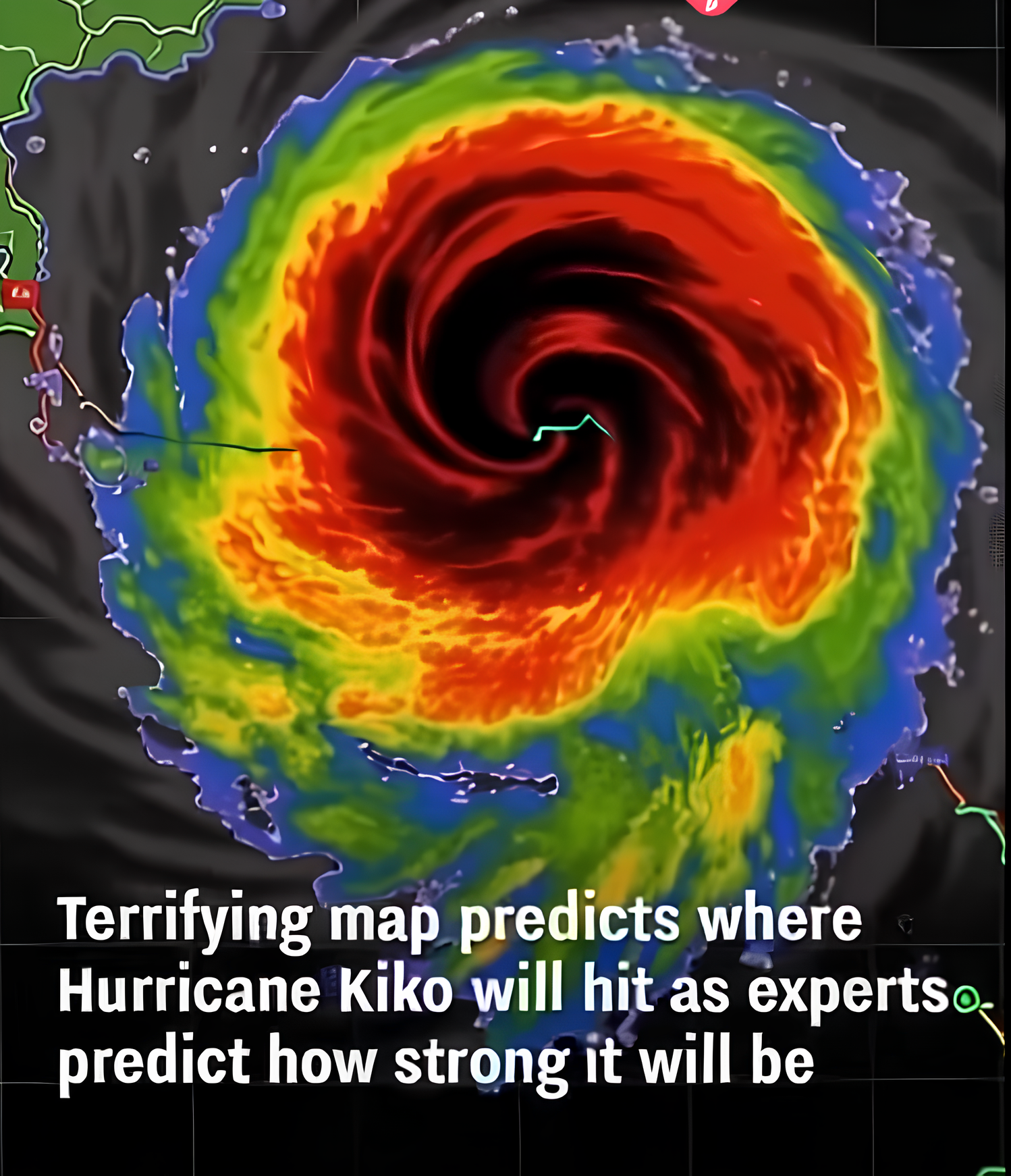
Hurricane Kiko, once a powerful Category 4 storm, has now weakened slightly to a Category 3 system, but experts warn it remains a serious threat to Hawaii. With maximum sustained winds near 115 mph, the storm continues to carry the potential for dangerous conditions across the islands. According to forecasts, Kiko could approach Hawaii as early as September 9.
Even if the system weakens further before making landfall, meteorologists caution that the storm’s wide reach means residents across the state could still face significant impacts. Heavy rainfall is expected, raising the risk of flash flooding and landslides, particularly in mountainous and low-lying areas. Strong winds may also cause power outages and damage to property.
The National Weather Service has issued warnings and urged residents not to underestimate the storm’s potential. While direct hurricane landfalls in Hawaii are rare—only two have occurred since 1950—the islands’ geography makes them particularly vulnerable to flooding and infrastructure challenges.
Emergency officials recommend that households take immediate steps to prepare. This includes stocking up on essential supplies such as water, food, batteries, and medications, as well as reviewing evacuation routes and staying updated through official alerts. Residents are also encouraged to secure outdoor belongings and ensure that communication devices remain charged in case of power loss. As the Pacific hurricane season continues, Hurricane Kiko serves as a stark reminder of the need for preparedness. Even a weakened storm can bring life-threatening conditions. For Hawaii’s residents, early action could make all the difference in staying safe and minimizing risks as the storm draws closer.